
How to Get to Carmel-by-the-Sea: The Complete Arrival Guide
Last updated August 2026. How to get to Carmel-by-the-Sea starts with one decision: air or road. Monterey Regional Airport sits just 7 miles from downtown, while Highway 1 connects the village to San Francisco and Los Angeles by car. Once you arrive, the one-square-mile grid and lack of street addresses change how you navigate the last mile.
Quick Guide: The Best Way to Get to Carmel-by-the-Sea
Monterey Regional Airport is the most convenient option, a 10 to 15 minute drive from downtown Carmel. Highway 1 is the most scenic route, especially the stretch near Big Sur. Driving from San Jose is usually the fastest option from a major Bay Area hub. The table below compares travel time by origin and mode.
| Origin | Mode | Approx. Travel Time |
|---|---|---|
| Monterey Regional Airport (MRY) | Drive | 10-15 minutes |
| San Jose (SJC) | Drive | About 90 minutes |
| San Francisco (SFO) | Drive via Highway 101 | About 2-2.5 hours |
| San Francisco (SFO) | Drive via scenic Highway 1 | Half a day, allow extra time |
| Los Angeles | Drive via Highway 101 and Highway 68 | About 6 hours |
Flying to Carmel-by-the-Sea: MRY, SJC, and SFO
Three airports serve Carmel-by-the-Sea, and each trades convenience for cost differently.
- Monterey Regional Airport (MRY): About 7 to 10 miles from downtown, a 15-minute drive. Exit the airport and turn right on Highway 68, then take Highway 68 to Highway 1 south. Turn right on Ocean Avenue and continue about 1 mile into the village. The official Carmel travel site notes non-stop flights serve MRY, so check current carrier schedules before booking.
- San Jose International (SJC): About 90 minutes south by car. This airport is the middle ground on airfare and drive time between MRY and SFO.
- San Francisco International (SFO): Roughly 2 to 2.5 hours by car. Highway 101 to Prunedale, then Highway 156 west, is the faster route. Highway 1 the whole way is scenic, but treat it as a half-day drive rather than a shortcut.
- Airport shuttles: If you are not renting a car, the Monterey Airbus connects SFO and SJC to the Monterey Peninsula. Book ahead for peak weekends and event dates.
Driving Directions from San Francisco, Los Angeles, and San Jose
Each route into Carmel-by-the-Sea ends the same way. Drivers head south on Highway 1, then turn right on Ocean Avenue toward the village.
- From San Francisco: Take Highway 101 south to Prunedale, then Highway 156 west. At Castroville, stay left as the road becomes Highway 1 south. Follow Highway 1 into Carmel, then turn right on Ocean Avenue.
- From Los Angeles: Take Highway 101 north to Salinas. Go west on Highway 68 at the Monterey Peninsula exit. Take Highway 68 to Highway 1 south, then turn right on Ocean Avenue.
- From San Jose: Follow Highway 101 south, then pick up Highway 156 west at Prunedale. Join Highway 1 south into Carmel.
- Local shortcut: Drivers coming from Salinas on Highway 68 can stay on that road straight to Highway 1. This skips the slower surface streets through central Monterey.
The Highway 1 Route: Bixby Bridge and Big Sur Access
Highway 1 south of Carmel leads directly into Big Sur. Bixby Bridge sits about 13 miles from the village, and Big Sur itself begins around 26 miles south. Point Lobos State Natural Reserve is closer, about a 10-minute drive south of downtown. It makes an easy stop before continuing further down the coast. Highway 1 through Big Sur periodically closes for storm damage or construction, so check current road status before a long day trip. The coastal stretch anchors many day trips from Carmel. Budget extra time if you plan to stop often at overlooks.
Getting Around Without a Car
Carmel-by-the-Sea covers about one square mile. Most hotels, restaurants, and galleries sit within a 15-minute walk of the beach. Monterey-Salinas Transit runs bus routes across the peninsula, connecting Carmel to Monterey and Pacific Grove without a rental car. Once you have parked or arrived by bus, a car becomes optional inside the village itself. Point Lobos and other highlights appear in the things to do in Carmel guide, useful for deciding which day trips actually need a car. Carmel has no numbered street addresses. Cottages and inns are identified by name and cross street instead, such as the northwest corner of Sixth and Mission. Enter the nearest cross streets into a map app rather than searching for a house number. For more on this quirk and other logistics, see the practical tips for visiting guide.
A car-free plan works best when the short airport leg and compact village match: MRY rideshare is under 15 minutes, then most daily stops sit inside the walkable grid. Save rental-car decisions for Point Lobos, 17-Mile Drive, or Big Sur.
Parking in Carmel-by-the-Sea
Free 2-hour curbside parking covers every block of the business district, enough for a quick lunch or gallery stop. Several free lots allow unlimited time for a longer visit.
- Vista Lobos lot (3rd Avenue and Torres Street): Free, unlimited time.
- Sunset Center North Lot (8th Avenue between Mission and San Carlos): Free, unlimited time, except during Car Week.
- Junipero Avenue median spaces (between 3rd and 5th Avenues): Free, unlimited time.
- Carmel Plaza Parking Garage (Mission Street, just north of 7th Avenue): Paid, the main backup once free lots fill.
- During Car Week and the Ferrari Owners Club Concours Carmel: free lots near downtown fill early, and some street closures apply. Arrive before mid-morning or use a rideshare.
Flying vs Driving: Cost and Time Trade-Offs
Flying into MRY and taking a rideshare trades a higher airfare for a short, inexpensive last leg. That last leg runs under 15 minutes. Flying into SFO usually costs less on airfare, but adds a rental car, gas, and 2 to 2.5 hours of driving each way. For a village-only trip, MRY plus a rideshare or the Monterey Airbus keeps logistics simplest. For a trip that also covers day trips from Carmel or the wider 17-Mile Drive, a rental car from any of the three airports pays off.
Where to Get Local Help: The Carmel Visitor Center
The Carmel Visitor Center sits inside Carmel Plaza, on the second floor at the corner of Junipero and Ocean Avenue. It is open Monday through Saturday from 10am to 5pm, and Sunday from 11am to 4pm. The center closes on Thanksgiving, Christmas, and New Year's Day. Staff can help with maps, parking questions, and same-day availability once you have found your way into the village.
Timing Your Arrival: Weather and Local Events
Coastal fog, sometimes called May Gray or June Gloom, is common on the Monterey Peninsula in late spring and early summer. It typically clears by midday. September and October tend to bring warmer, clearer days with fewer crowds, according to Visit California. For a fuller seasonal breakdown, see the best time to visit guide before booking flights or a rental car. Car Week runs August 11 to 16, 2026, and draws added traffic and tighter parking. The Ferrari Owners Club Concours Carmel follows on August 13. A Studio Access open-studio event with local artists Jennifer Perlmutter and Nicole Cromwell is scheduled for September 12, 2026, a lower-traffic weekend for arrival. Check the local festivals calendar before finalizing driving or parking plans, since closures shift year to year. Once transportation is settled, sketch out a two-day itinerary. Or plan a full weekend getaway instead. Book a room from the where to stay guide. Pick a first dinner from the Carmel restaurants guide.
For Car Week, timing affects both traffic and parking: August 11 to 16, 2026 brings tighter downtown lots, while the Ferrari event adds closures on August 13. Arriving before mid-morning or using rideshare matters more than choosing the closest lot.
Scenic Detour: Reaching Carmel via 17-Mile Drive
If you are driving from Monterey or Pacific Grove, 17-Mile Drive is the scenic way to approach Carmel-by-the-Sea. Enter through the Pacific Grove Gate, Highway 1 Gate, or Country Club Gate, then follow the coastal road past Spanish Bay, Fanshell Beach, and the Lone Cypress.
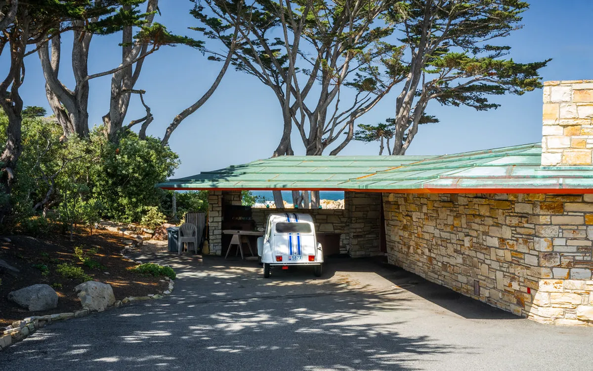
The route is slower than Highway 1, but it turns the arrival into a short sightseeing drive. Plan extra time for pullouts, photos, and traffic near Pebble Beach on busy weekends. The Carmel Gate exits near San Antonio Avenue, a few blocks from Carmel Beach and the village grid.
There is a gate fee for most private vehicles, and motorcycles are generally not permitted. Keep your receipt if you plan to dine or shop inside Pebble Beach, since reimbursement rules can change by business. Use Highway 1 instead if you are arriving late, trying to park quickly, or driving during major golf or Car Week events.
Frequently Asked Questions
Can you get to Carmel-by-the-Sea without a car?
Yes. Fly into Monterey Regional Airport, then use a rideshare or the Monterey Airbus shuttle into the village. Monterey-Salinas Transit also connects Carmel to nearby towns by bus. Once you have arrived, the one-square-mile downtown is fully walkable, so a car is only useful for trips to Point Lobos, 17-Mile Drive, or Big Sur.
How far is Big Sur from Carmel-by-the-Sea?
Big Sur begins about 26 miles south of Carmel on Highway 1. Bixby Bridge, the well-known landmark along the way, sits about 13 miles from the village. Plan at least two hours each way with stops at overlooks, since the road is narrow and slow by design.
Is Carmel-by-the-Sea dog-friendly?
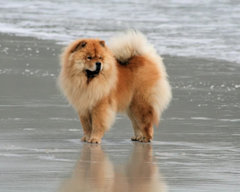
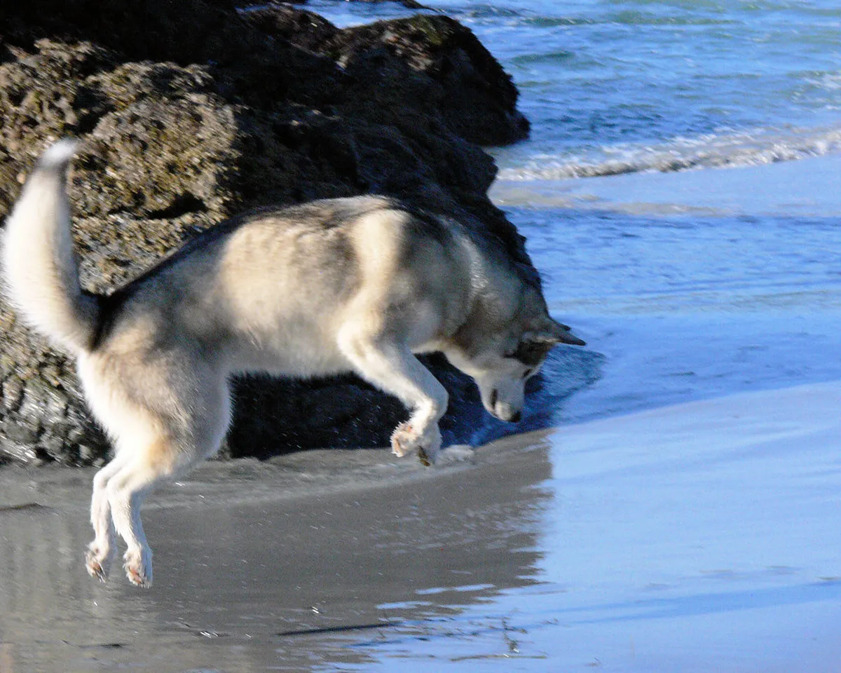
Yes. Carmel Beach allows dogs off-leash, and many shops, restaurants, and hotels welcome well-behaved dogs. It is considered one of the more dog-friendly destinations on the California coast.
Do GPS apps work well in Carmel-by-the-Sea?
Not always. Carmel has no numbered street addresses, so cottages and inns go by name and cross street instead. Enter the nearest intersection rather than a house number, and confirm directions with your hotel if a pin looks off.
When is parking hardest to find in Carmel-by-the-Sea?
During Car Week, scheduled August 11 to 16, 2026, and during the Ferrari Owners Club Concours Carmel on August 13. Free lots near downtown fill early on those dates, and some streets see added closures. Arrive before mid-morning or use a rideshare instead of driving.