Sugar River State Trail Guide for Albany, Wisconsin
The Sugar River State Trail runs 24 miles of mostly crushed-limestone rail-trail across Green County, linking New Glarus, Monticello, Albany, and Brodhead. Albany sits at the practical midpoint, giving riders, hikers, and skiers a refuel stop, trailhead, and base between New Glarus and Brodhead without committing to the full distance in one push.
Quick Sugar River State Trail Guide Facts
The Wisconsin DNR lists the Sugar River State Trail as a 24-mile rail trail in Green County, one of the state's better-known Wisconsin rail-trails for a multi-town cycling day. Its official surface mix is 1 mile of asphalt and 23 miles of crushed stone, which other trail records describe as crushed limestone laid over the old railroad bed. The listed communities are New Glarus, Monticello, Albany, and Brodhead, and the route sits within the Aldo Leopold Legacy Trail System, which also links to the Badger State Trail near Monticello. That makes Albany a useful middle choice when you do not want to ride the full trail in one push, and a solid pick for a Green County cycling day built around more than one town.
- Official length: 24 miles.
- Surface: 1 mile asphalt and 23 miles crushed stone.
- Trail type: rail trail.
- County listed by the DNR: Green County.
- Communities listed by the DNR: New Glarus, Monticello, Albany, and Brodhead.
- Season: the DNR says the trail is open year-round.
- Bike pass rule: each bicyclist age 16 or older needs a Wisconsin state trail pass.
Why Albany Works as the Mid-Trail Base
Albany gives you a practical trail day because the DNR lists parking and flush toilet restrooms there. The access point is off North Cincinnati Street and 4th Street. The Village of Albany also describes Albany as midway along the trail, with trailside restrooms, water, and parking near other village attractions. Use the Albany things to do guide when you want to pair the trail with a short village stop.
- Start in Albany if you want a shorter out-and-back instead of the full 24 miles.
- Use Albany when your group includes riders with different distances in mind.
- Plan a rest stop here before choosing a northbound or southbound segment.
- Check current village services before relying on food, lodging, or rentals.
- Do not assume the former Albany House B&B is currently operating.
Where to Eat and Refuel in Albany
Albany's small downtown sits close enough to the trailhead that a food or coffee stop does not cost much extra time. Village services shift with the season and with individual business hours, so confirm what is currently open before you build a ride around a specific stop. Carry water and snacks as a backup regardless, since the stretch between Albany and either Monticello or Brodhead has few or no services directly on the trail itself.
If refueling matters more than mileage, treat Albany as the anchor: ride out in one direction, return to the village for a break, then decide whether to add a second stretch. That approach keeps a rest stop within easy reach no matter which segment you pick, and it avoids betting a longer ride on a single business staying open exactly when you arrive.
Route Breakdown from New Glarus to Brodhead
The trail connects four named communities, so planning by segment is easier than planning by mile alone. New Glarus and Brodhead are the end communities. Monticello and Albany help split the trail into manageable pieces. The DNR says the Badger State Trail connects with the Sugar River State Trail just south of the Monticello trailhead. Each stretch has its own character: the New Glarus-to-Monticello leg opens with the Swiss-heritage town scenery near the north trailhead, the Monticello-to-Albany leg runs closest to the river and open farmland, and the Albany-to-Brodhead leg settles into the trail's flatter southern run toward the terminus.
| Segment | Character | Best Use | Known Planning Detail |
|---|---|---|---|
| New Glarus to Monticello | Swiss-heritage town start | Good for a north-end start | New Glarus parking and restrooms are listed near the headquarters/depot. |
| Monticello to Albany | River and farmland views | Useful for riders deciding between two trail systems | The Badger State Trail connection is just south of Monticello. |
| Albany to Brodhead | Flatter southern stretch | Good for using Albany as a middle trailhead | Brodhead has parking and restrooms at the southern terminus. |
Effort stays roughly the same across all three stretches, since the whole route follows a former rail bed with only a 1% grade end to end. Shade depends more on tree cover at a given point than on which segment you pick, so treat the character notes above as a scenery guide rather than a difficulty rating.
Surface, Grade, and Bike Choice
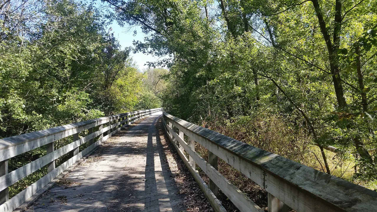
Most of the trail is crushed stone, so tire choice matters more than speed. A hybrid bike, gravel bike, or wider-tire touring bike is the safest default. A narrow road bike can feel harsh on soft or loose stretches. The Village of Albany describes the old rail bed as having only a 1% grade and limestone screenings. That supports the trail's easy rail-trail feel, but it does not make the surface the same as pavement.
- Choose wider tires for the 23 crushed-stone miles.
- Expect only 1 official asphalt mile.
- Reduce speed before planked trestle bridges.
- After rain, expect softer crushed-stone sections.
- In dry spells, expect dust and loose stone in places.
- Carry a basic repair kit because services are limited between towns.
Trailheads, Parking, and Access Points
The official access notes give you four useful starting points. New Glarus has parking and restrooms near the headquarters/depot just off State Highway 69, next to the New Glarus Depot that marks the trail's north end; this is the same trailhead most people mean when they search for the New Glarus bike trail. Monticello has parking near County Highway EE, along the stretch where the trail runs close to the Little Sugar River. Albany has a parking lot with flush toilet restrooms off North Cincinnati Street and 4th Street. Brodhead has parking and restrooms at the southern terminus.
| Community | Official Access Note | Best Planning Use |
|---|---|---|
| New Glarus | Parking and restrooms near the headquarters/depot just off State Highway 69 | Use for a north-end start. |
| Monticello | Parking near County Highway EE | Use for the Badger State Trail connection. |
| Albany | Parking lot with flush toilet restrooms off North Cincinnati Street and 4th Street | Use for a middle start or village stop. |
| Brodhead | Parking and restrooms at the southern terminus | Use for a south-end start. |
Pass Rules and Official Logistics
For biking, the key official rule is age-based. The DNR says each bicyclist age 16 or older needs a Wisconsin state trail pass while using the trail. The official Sugar River trail page does not list a 2026 pass price, so check the DNR state trail pass page before you ride. Walkers should still check posted trail signs, because rules can vary by activity and season.
- Buy or confirm your Wisconsin state trail pass before starting a bike ride.
- Keep pass proof accessible during the ride.
- Check the DNR page again before a long-distance trip.
- Look for self-registration information at official trail access points.
- Do not rely on older pass prices from blog posts or cached pages.
Seasonal Conditions and Year-Round Use
The DNR lists the trail as open year-round, but year-round access is not the same as identical conditions. Spring can bring soft crushed stone after thaw or rain. Summer favors longer bike days, though water planning matters between communities. Autumn can be good for cooler riding. Winter use appears in the Village of Albany description, which mentions cross-country skiing and snowmobiling on the trail.
Year-round access still means planning for crushed stone: 23 miles are not asphalt, so rain, thaw, dust, and winter status checks can matter more than the easy rail-trail grade.
- Spring: expect softer crushed-stone conditions after wet weather.
- Summer: start with enough water for gaps between towns.
- Autumn: use lights if a late ride may finish near dusk.
- Winter: check current snow and trail status before skiing or snowmobiling.
- Any season: confirm closures or maintenance before driving to a trailhead.
Albany, the Sugar River, and Multi-Sport Days
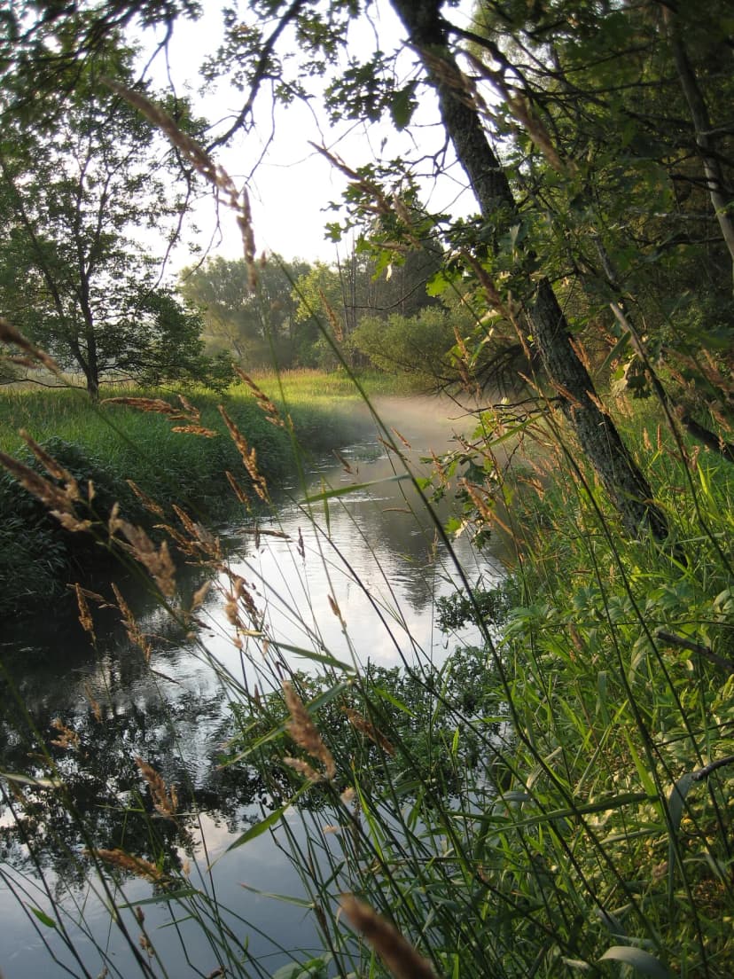
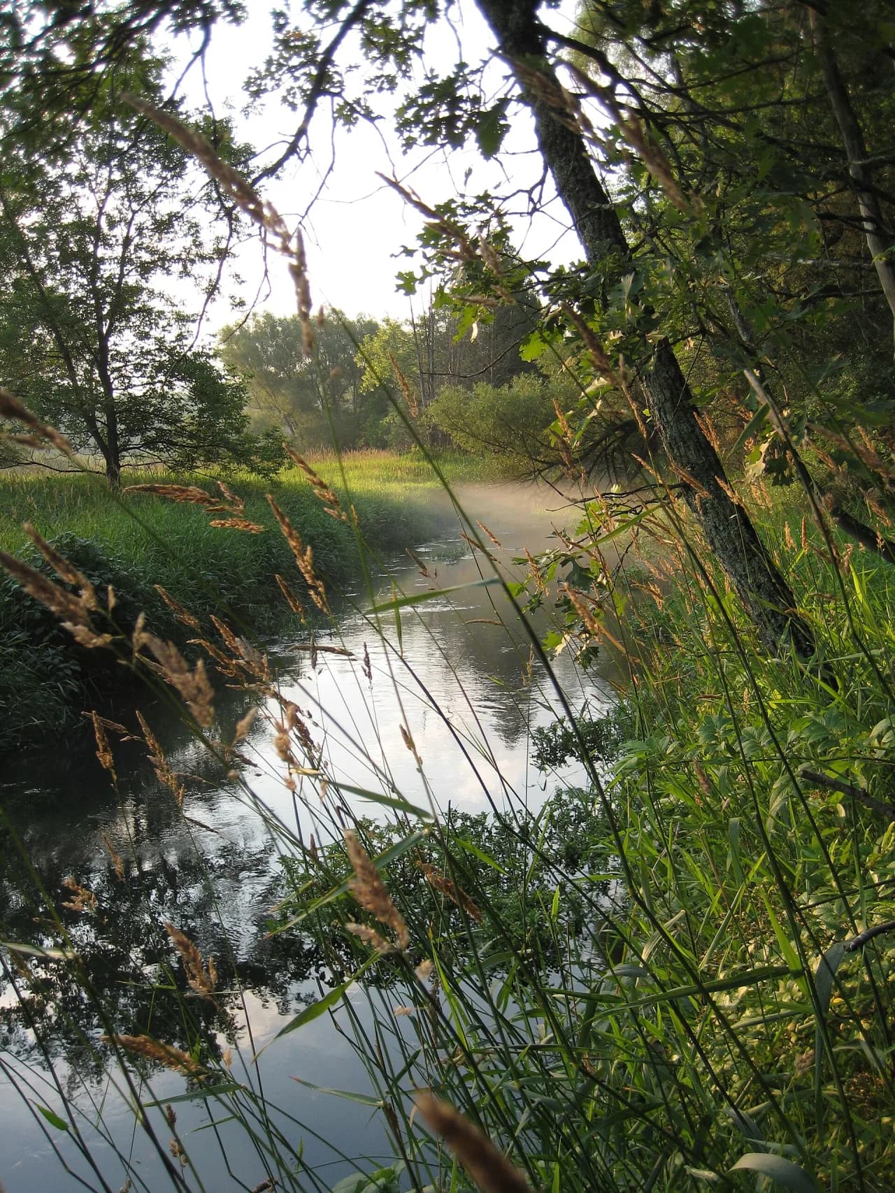
A trail day can turn into a river day in Albany because the village sits around the Sugar River setting. The Village of Albany says the Little and Big Sugar Rivers join just north of the village. Travel Wisconsin describes the Sugar River as flowing through forested riverbanks and farmlands in eastern Green County. If you want paddling details, use the Albany kayaking guide before planning launch points or portages.
- Keep cycling and paddling plans separate unless you have a shuttle.
- Confirm water levels before any river plan.
- Travel Wisconsin notes two dams on the upper river.
- Travel Wisconsin names the Albany Dam and Decatur Dam as portage considerations.
- Use Albany for a trail break when you want river views without adding another long drive.
Badger State Trail and Ice Age Trail Connections
Monticello is the main decision point if you are comparing trail systems. The DNR states that the Badger State Trail connects with the Sugar River State Trail just south of the Monticello trailhead. The Sugar River State Trail also carries a 9-mile portion of the Ice Age Trail, the National Scenic Trail that crosses Wisconsin end to end. Treat that overlap as useful for hikers who want a rail-trail walk with a National Scenic Trail connection rather than a full Ice Age Trail expedition.
- Choose the Sugar River route for the four-community line from New Glarus to Brodhead.
- Use Monticello when you want to understand the Badger State Trail junction.
- Pick the 9-mile Ice Age Trail overlap for a hiking-focused day.
- Carry a map if switching trails near Monticello.
- Do not assume every trail user is going to the same endpoint.
How to Plan a Short Ride from Albany
Albany is the simplest choice for a shorter ride because it sits near the middle of the trail. Start from the official Albany access point, then choose one direction. A northbound ride moves toward Monticello and the Badger State Trail connection. A southbound ride moves toward Brodhead and the southern terminus. Turn around before your group gets tired, because a rail trail still doubles your distance on an out-and-back.
- Start at the Albany lot off North Cincinnati Street and 4th Street.
- Check restrooms before leaving the trailhead.
- Ride north if the Monticello connection is your focus.
- Ride south if you want a simpler out-and-back toward Brodhead.
- Set a turnaround time before starting.
- Use the Albany day trips guide if the trail is one stop in a longer day.
Shuttle Problems and One-Way Rides
The trail's 24-mile length makes one-way planning tempting, but a shuttle is the main friction point. No regular public shuttle serves the trail. If you ride from New Glarus to Brodhead, plan your return before the first mile. For most visitors, an out-and-back from Albany is simpler than coordinating two vehicles.
A full out-and-back is not just a 24-mile trail day; it becomes 48 miles, and every bicyclist age 16 or older still needs pass proof before the first mile.
- Use two vehicles if your group wants a full one-way ride.
- Confirm any private shuttle or ride service before travel day.
- Do not count on trail towns to solve return transportation.
- Choose Albany for an easier partial ride.
- Book lodging only after confirming your route and return plan.
- Use the nearby lodging guide for overnight planning.
Etiquette on a Mixed-Use Rail Trail
The trail supports multiple uses, so predictable behavior matters. Keep right unless passing. Call out before passing walkers, slower riders, or families. Slow down near trailheads, bridges, and town access points. On crushed stone, extra speed can throw dust or loose grit onto other users.
- Announce passes early and calmly.
- Yield extra space on trestle bridges.
- Keep dogs leashed if posted rules require it.
- Stop fully before checking your phone or map.
- Move off the travel lane for water breaks.
- Respect winter-use signs when snowmobiling or skiing conditions apply.
Common Mistakes to Avoid
Most problems on this trail come from logistics, not terrain. Riders forget that 24 miles becomes 48 miles if they ride the whole trail out and back. Others plan around pavement and then meet 23 miles of crushed stone. Some arrive without checking the trail pass rule for bicyclists age 16 or older. Albany helps reduce those risks because it gives you a middle start with restrooms and parking.
- Do not assume the trail is paved.
- Do not start a full-length ride without a return plan.
- Do not skip water because towns appear on the map.
- Do not ignore the bike pass rule for riders age 16 or older.
- Do not ride fast over planked trestles.
- Do not build plans around a business unless you verify current status.
- Do not treat old lodging references as current operating facts.
- Do not skip a posted self-registration station; it is how the trail confirms pass compliance without a staffed booth.
- Do not ignore wind direction on a north-to-south ride. A headwind on the return leg can turn an easy out-and-back into a slow one, so check the forecast before choosing which way to start.
Adding the Trail to a Green County Trip
The Sugar River State Trail fits well into a broader Green County plan because it links four communities and touches both cycling and river recreation. Use Albany for the trail segment, then add nearby stops only after checking current hours. A longer trip can pair the trail with the Green County road trip route. Keep the trail as the fixed part of the day, because weather and surface conditions can change your timing.
- Build the day around one trail segment instead of the full 24 miles.
- Add a river stop only if water conditions support it.
- Check current hours for food, lodging, and attractions.
- Use Albany when your group wants a middle trailhead.
- Save New Glarus or Brodhead for a separate stop if your ride runs long.
Sugar River vs. Badger State Trail: Which Ride Fits Your Day?
The Sugar River State Trail is the better choice when you want a town-to-town Green County ride with frequent decision points. It links New Glarus, Monticello, Albany, and Brodhead, so you can build a shorter outing around food, restrooms, or a turnaround point.
The Badger State Trail connection near Monticello is useful, but it can confuse first-time riders. Stay on the Sugar River route if your plan is Albany, Brodhead, or the river corridor. Switch to the Badger State Trail only if your map, mileage, and return plan already include that separate trail system.
- Choose Sugar River for Albany access, river scenery, and four-community planning.
- Choose Badger State Trail for a longer north-south route beyond the Monticello junction.
- Use Monticello as the map-check stop before committing to either trail.
For most Albany-based visitors, the Sugar River Trail is simpler. It keeps the day focused and makes an out-and-back easier to manage.
Pair this with our broader Albany tourism attractions guide for the full city overview.
For related deep-dives, see our Albany Wisconsin Kayaking and Canoeing Guide and Albany Wisconsin Weekend Getaway: A Practical Sugar River Base Plan guides.
Frequently Asked Questions
Is the Sugar River State Trail paved?
Mostly no. The DNR lists 1 mile of asphalt and 23 miles of crushed stone. Plan for a crushed-stone ride, not a paved path.
How long is the Sugar River State Trail?
The official DNR trail facts list the Sugar River State Trail at 24 miles. It connects New Glarus, Monticello, Albany, and Brodhead.
Where should you start for a short ride near Albany?
Start at the Albany access point off North Cincinnati Street and 4th Street. The DNR lists parking and flush toilet restrooms there.
Do bicyclists need a Wisconsin state trail pass?
Yes, if they are age 16 or older. The DNR says each bicyclist age 16 or older needs a Wisconsin state trail pass.
Can you connect to the Badger State Trail?
Yes. The DNR says the Badger State Trail connects with the Sugar River State Trail just south of the Monticello trailhead.
Is the trail open in winter?
The DNR lists the trail as open year-round. Winter conditions still require a current status check before you plan skiing or snowmobiling.
Are dogs allowed on the Sugar River State Trail?
The official Sugar River trail facts do not list a dog rule. Check current DNR rules and posted signs before bringing a dog.
Is Albany a good base for the trail?
Yes, especially for partial rides. Albany is listed as a trail community, and the official access notes include parking and flush toilet restrooms.