Albany Wisconsin Kayaking and Canoeing on the Sugar River
Albany, Wisconsin kayaking and canoeing runs on one short stretch of the Sugar River split by the Albany dam: the calm Albany Millpond above town, and free-flowing water below it toward Brodhead. Choose the millpond for an easy, no-shuttle paddle, or go downstream toward Brodhead for a longer, current-driven route — then plan around the dam portage and current water levels before you launch.
What Albany Wisconsin Kayaking and Canoeing Is Like
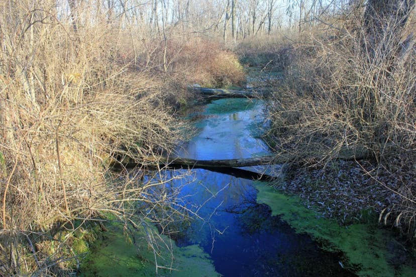
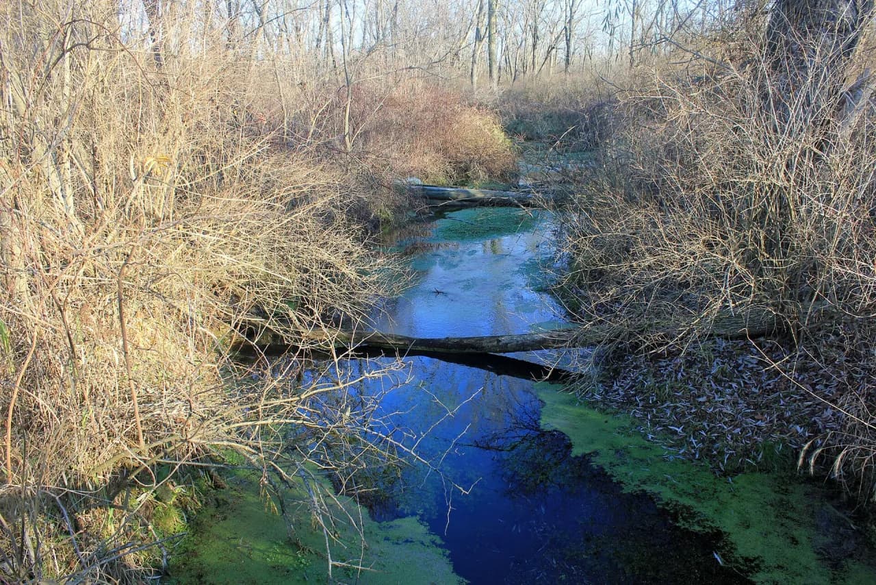
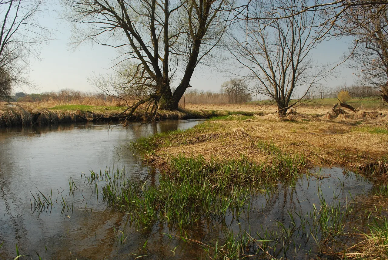
Albany is a practical base for Sugar River paddling because the river runs directly through village life. The Village of Albany describes the Sugar River as one of the community's defining features. It also notes that the Little and Big Sugar Rivers join just north of the village. That confluence matters for route planning because water character can change after rain. Expect a gentle river most days, but do not treat it like a lazy pool. Tight bends, shallow riffles, and fallen trees can make a beginner work. Travel Wisconsin describes the Sugar River as flowing through forested banks and farmland in Green County. That same listing flags the Albany dam as a portage point. This corridor sits inside Wisconsin's Driftless Area, the unglaciated region of wooded bluffs and spring-fed streams that also gives Green County its rolling terrain — one reason Green County paddling trips here pair real scenery with a current most beginners can manage. For a broader trip, pair a morning paddle with the local activity ideas in things to do in Albany. Keep the water plan first, then build food, biking, and lodging around daylight and river conditions.
Choose Your Sugar River Route From Albany
Your route choice should start with the Albany dam. It separates the calmer Albany Millpond experience from the free-flowing river below town. Beginners who do not want a shuttle should start with the millpond or a short out-and-back. Paddlers who want a point-to-point route need a takeout plan before launching. Hwy EE to Albany appears in local paddling discussions as a northern approach, but mileage and timing should be verified before you go. Albany to Brodhead is the key downstream option for travelers who want to leave the village and continue with the current. Brodhead also connects with trail infrastructure, so it works better when you have a driver or bike-shuttle plan. Some paddlers flip the same stretch into a Brodhead to Albany paddle instead, launching downstream and shuttling back toward Albany — a reasonable option if you are already staying near Brodhead or want the current pushing you toward the busier takeout. Avoid planning by straight-line distance. The Sugar River bends sharply, so progress can feel slow even when the water is moving.
| Route | Best Use | Difficulty | Time Commitment | Scenery | Shuttle Planning |
|---|---|---|---|---|---|
| Albany Millpond | First paddle, short practice, no-rush outing | Easiest in normal conditions | Short and flexible; no fixed distance to cover | Open water with dam and park views, less tree cover | Usually simplest because you can return to the same access area |
| Hwy EE to Albany | Upstream approach into town | Beginner to intermediate after checking water and obstructions | Moderate; exact mileage and duration should be verified before you go | Wooded banks and farmland typical of this stretch | Needs a confirmed put-in, takeout, and driver plan |
| Albany to Brodhead | Downstream Sugar River day route | Beginner to intermediate after the dam portage decision | Longer half-day, more if water is low or bends slow you down | Winding Z-shaped bends with heavier tree cover and more wildlife | Best with a second vehicle or bike-shuttle setup |
| Short Albany out-and-back | Limited time, uncertain weather, new paddlers | Lowest commitment if you stay away from hazards | Under an hour if you turn around early | Same village and dam views as the millpond, without the shuttle | No full shuttle, but you still need a safe launch and return point |
How the Albany Dam Changes the Paddle
The Albany dam is the main planning feature, not a background landmark. Travel Wisconsin states that the Albany Dam has a stairway for portage. The village also notes that the dam sits in the heart of Albany and can be viewed near the adjacent park. Treat the dam as a mandatory decision point. Do not paddle close to the structure to inspect it from the water. Land early, scout from shore, and follow posted signs or local instructions. If signs, fencing, flow, or debris make the portage unclear, stop the trip above the dam. A missed portage can turn a simple beginner route into a serious hazard. Canoes are heavier during a carry, so pack fewer loose items before reaching town. Kayaks are easier to move, but wet banks can still make footing awkward.
Albany Millpond Versus Free-Flowing River
The Albany Millpond is the better choice when you want control over time. You can practice strokes, watch wind direction, and return without organizing a second vehicle. It also lets nervous paddlers test balance before entering current. Below the dam, the river becomes more route-based. Current, bends, and treefall require more attention. The best choice depends on your group, not on the map. Families with young paddlers may prefer the millpond. Adults with river experience may prefer the downstream stretch toward Brodhead. Stronger paddlers should still check water level and weather. A low river can mean scraping through shallow sections. A high river can push boats faster into branches and outside bends. If the group has mixed ability, choose the easier option first. You can save the longer downstream paddle for another day.
Put-Ins, Takeouts, and Albany Boat Launch Notes
Legion Park is the most important local access point for Sugar River paddlers in Albany. The village says Legion Park sits on the river shore, offers a boat launch, and works as a picnic rest point for canoeists. Confirm parking rules, launch conditions, and any posted restrictions on arrival. River access can change after storms, maintenance, or local events. Main Street is another useful orientation point because Travel Wisconsin lists the Sugar River address at Main St. in Albany. Do not assume every grassy riverbank is public access. Use marked launches, public parks, or outfitter instructions. For a weekend plan, put your paddle early in the day and leave flexible time for check-in near town. The Albany weekend getaway guide can help you place the paddle inside a longer visit.
Rentals, Outfitters, and Self-Shuttles
Rental and shuttle availability should be checked directly before you commit to a route. Local providers such as S&B Tubing/Paddling have served paddlers on this stretch, but current boat types, hours, and shuttle service should be verified directly before you book. Ask three questions before you pay. First, confirm whether the provider serves kayaks, canoes, tubes, or only selected craft on your date. Second, ask which launch and takeout they use for Albany-area routes. Third, ask how the Albany dam is handled in their instructions. Self-shuttling is possible when you have your own boat and a second vehicle. Solo paddlers can also consider a bike shuttle when route distance and trail access match their comfort level. The DNR trail facts list the Sugar River State Trail through Albany and Brodhead. That makes the trail useful for planning, but not automatic proof that every river takeout connects cleanly to the trail. Check the exact parking location before relying on this option. Launch access at Albany's park areas is typically free or low-cost for day use, but signage and rules can change, so confirm any posted fee before you unload. Rental and shuttle pricing varies by outfitter, boat type, and season — treat any rate you find online as a starting point and get a same-day quote rather than budgeting around it.
- Call or message any outfitter before driving to Albany.
- Ask whether shuttle service includes your exact route.
- Confirm boat type, life jacket availability, and cancellation rules.
- If you self-shuttle, stage keys and dry clothes before launching.
- For bike shuttles, read the Sugar River State Trail guide before choosing a takeout.
Water Conditions and the Brodhead Gauge
Water level is the difference between an easy paddle and a frustrating scrape. The USGS Brodhead gauge is the local reference point for Sugar River planning. Use that gauge before leaving, then compare it with recent rain and the forecast. Do not rely on a single number if you do not know how your chosen segment behaves. A low reading can expose gravel and force repeated boat dragging. A high reading can speed up current and make deadfall harder to avoid. After storms, give the river extra respect even if the day looks clear. Fallen trees are common on the Sugar River. They can block narrow bends and create strainers. If a branch pile spans the channel, land early and portage only where the bank is stable. Beginners should skip any route where obstructions are reported.
Low water can mean dragging boats; if your backup is a bike shuttle, remember the trail is not all pavement: it has 1 mile of asphalt and much more crushed stone. That matters after a tiring paddle with wet gear.
Safety Basics for Sugar River Paddlers
Treat this as moving water, even when the surface looks calm. Wear a properly fitted life jacket from launch to takeout. Keep a dry bag for your phone, keys, and medication. Carry water, sun protection, and footwear that can handle mud or gravel. Avoid glass containers because broken glass creates risk at launches, banks, and sandbars. Pack out every can, wrapper, and strap. Stay clear of the dam, logjams, and low bridges. If thunder starts, leave the river as soon as you can do so safely. New paddlers should choose a shorter route and avoid late starts. Canoes need extra room through tight bends, while kayaks turn more quickly. Either craft can flip when a beginner reaches for a branch instead of paddling away from it. Keep the boat moving, look where you want to go, and give outside bends room.
Best Seasons for Albany Paddling
Spring, summer, and fall each change the Sugar River decision. Spring can bring higher water after rain, so experienced paddlers may find more flow. Beginners should be cautious because faster current reduces reaction time. Summer is the easiest season for planning around warm weather, but it can also bring lower water and more tubing traffic. Tubers dominate the river on busy summer weekends, especially at midday, which is the main crowd factor to plan around if you want a quiet trip. If you want a quieter kayak or canoe trip, start early and avoid peak midday launch windows. Fall often gives calmer crowds and cooler air. It can also shorten daylight, so set a strict turnaround time. Winter paddling is outside the scope of a casual Albany guide. Cold water raises the stakes even on a gentle river. For most visitors, a fair-weather trip between late spring and fall is the practical target.
Kayaking Versus Canoeing on the Sugar River
Kayaks and canoes both work here, but they solve different problems. A recreational kayak is easier for one person to steer through Z-shaped bends. It also handles short practice sessions on the millpond well. A canoe carries more gear and works for two paddlers who can communicate. It can feel less forgiving in narrow turns when the stern paddler is new. Tubes are a different experience. Tubing favors floating, warm weather, and a slower social pace. Kayaking and canoeing reward route planning, cleaner lines, and earlier starts. If your goal is quiet wildlife watching, choose a paddle craft and launch before the busiest tubing period. If your goal is a simple group float, use an outfitter's current instructions and stay within their approved route.
Bike-Shuttle Planning on the Sugar River State Trail
The bike-shuttle idea is one of Albany's strongest logistics advantages. The Sugar River State Trail is listed by the DNR as 24 miles long, with 1 mile of asphalt and 23 miles of crushed stone. The same DNR page names New Glarus, Monticello, Albany, and Brodhead as trail communities. Albany parking with flush toilet restrooms is listed off North Cincinnati St. and 4th St. Brodhead has parking and restrooms at the southern terminus. Those facts make a bike shuttle realistic for some paddlers, but you still need to match it to your exact river takeout. Each bicyclist age 16 or older needs a Wisconsin state trail pass. Bring a lock, lights, and a bag for wet gear. A bike shuttle adds time and physical effort after paddling, so keep the river route modest on your first attempt.
Where Albany Fits in a Green County Day
Paddling can be the anchor activity for a Green County day instead of a standalone errand. Green County Tourism mentions trails, back roads, parks, and a winding river suited to a canoe trip. That helps explain why Albany works well with biking and rural drives. Keep the order practical. Paddle first while the air is cooler and wind is lower. Eat or walk downtown after changing into dry clothes. Add the state trail only if your group still has energy. If you are building a longer drive, use the Green County road trip guide to avoid backtracking. Travelers staying overnight should also compare towns and river access in where to stay near Albany. Do not plan around the former Albany House B&B unless a current source confirms its status.
Common Mistakes to Avoid
Most Albany paddling problems come from weak logistics, not from extreme water. The river looks simple on a map, then the bends, dam, and shuttle details take over. Build the day around the known constraints first. Confirm your access points. Check the gauge. Ask about the dam. Leave dry clothes in the vehicle. Choose a shorter route if any part of the plan feels vague. A clean Albany paddle is usually the result of modest choices made early.
- Do not launch without knowing how you will handle the Albany dam.
- Do not assume rental and shuttle services are operating on your date.
- Do not use straight-line map distance to estimate river time.
- Do not bring glass to river access areas.
- Do not skip a dry bag on a route with tight bends.
- Do not start late if you still need to shuttle, unload, and scout.
Simple Albany Paddle Plan for First-Timers
Start with a conservative plan if you are new to the Sugar River. Check water level, weather, and outfitter status the day before. On arrival, look at the launch, current, and wind before unloading every item. If you are using the millpond, keep the first outing short and return while everyone still feels comfortable. If you are paddling downstream, confirm the takeout before the first boat touches water. Tell someone on land where you are going. Put phones and keys in waterproof storage. Carry less loose gear than you think you need. After the paddle, use the trail, park, or downtown stops only if time remains. For alternate no-river plans, keep Albany day trips ready as a weather backup.
A first Albany bike shuttle is a paddle plan plus a trail plan: every rider age 16 or older needs the pass, and the takeout should be confirmed before any boat is unloaded. Keep the route short enough for biking afterward.
Post-Paddle Food and Downtown Stops in Albany
After a Sugar River paddle, keep the next stop close to dry clothes, parking, and Main Street. Green County Tourism describes downtown Albany as having an Italian restaurant, diner, bar and grill, bowling alley, dam view, and local museum nearby. That makes it practical for groups who finish at the village launch area or return from an outfitter shuttle.
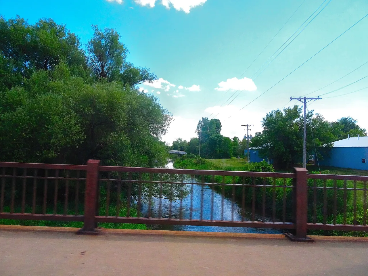
Use downtown Albany for easy food first, then add a short walk if daylight remains. The Albany Historical Society Museum sits in the historic downtown district, near food and beverage stops listed by the village. Village Park and the Main Street bridge also give non-paddlers a simple place to see the dam without getting on the water.
- Check restaurant hours before launching, especially on weekdays.
- Bring dry shoes or sandals for walking into local businesses.
- Keep wet gear contained so the vehicle stays organized after takeout.
For the broader city overview, see our guide to things to do in Albany. For related planning, see our Albany Wisconsin weekend getaway guide and our day trips from Albany guide.
Frequently Asked Questions
Is the Sugar River near Albany good for beginner kayakers?
Yes, in normal conditions, Albany can work for beginners who choose a short route. The Albany Millpond is the safest starting point for practice. Moving-water routes need more planning because of bends, deadfall, and the dam.
Do you have to portage around the Albany dam?
Travel Wisconsin states that the Albany Dam has a stairway for portage. Treat the dam as a mandatory scout-and-portage point unless posted local guidance says otherwise. Never paddle close to the dam to inspect it.
Can you rent kayaks or canoes in Albany, Wisconsin?
Possibly, but you should verify current services before building your day around a rental. Local providers such as S&B Tubing/Paddling have operated on this stretch, yet current boat types, shuttle routes, and booking rules need direct confirmation.
Can you bike-shuttle a Sugar River paddle from Albany?
A bike shuttle may work for some routes because the Sugar River State Trail connects Albany and Brodhead. The DNR lists Albany trail parking off North Cincinnati St. and 4th St. Confirm your exact river takeout before relying on the trail.
What should you check before paddling the Sugar River?
Check the USGS Brodhead gauge, recent rain, local weather, launch access, and dam instructions. Also ask about fallen trees if you rent from an outfitter. Skip the route if high water or blocked bends are reported.
Is kayaking or canoeing better for the Albany stretch?
A kayak is usually easier for one paddler on tight bends. A canoe works well for two paddlers who can steer together and carry gear. Choose the craft that matches your group skill, not just availability.